Flying the North American Continent
Sape Mullender
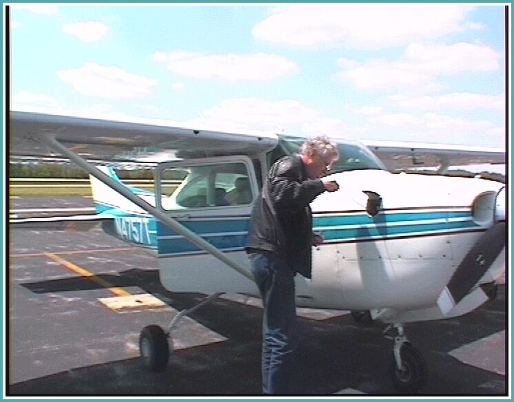
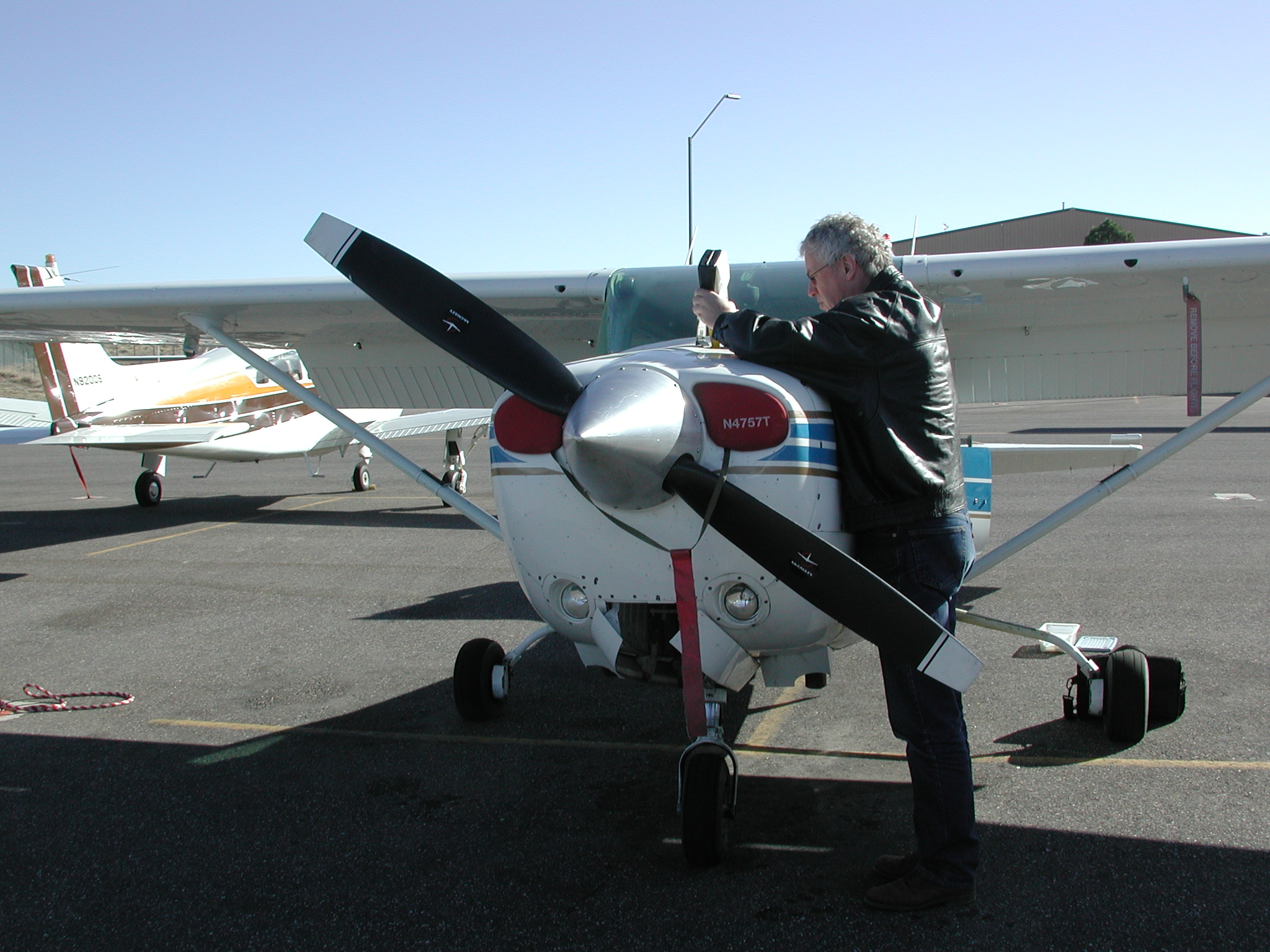
In May 2002, Connie de Dreu and I took of from Morristown, New Jersey for a two-week trip to the Grand Canyon, San Jose and Seattle in N4757T, a Cessna C182RG.
|
|
Flying the North American Continent
|
 Weather reports indicated scattered and broken clouds between 6000
and 8000, so we filed at 10000.
Weather reports indicated scattered and broken clouds between 6000
and 8000, so we filed at 10000.
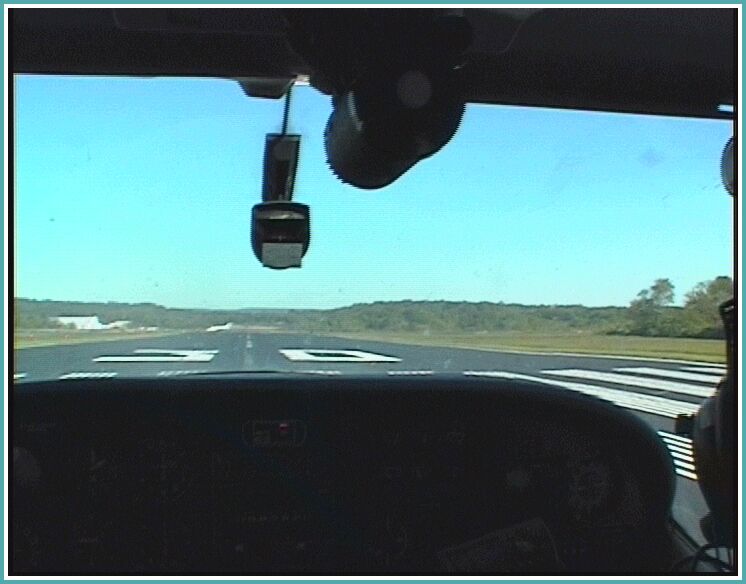
Our clearance was as filed and we took off from Runway 30 at MMU, after waiting for a jet to take off from the cross runway.
This is the trickiest of the SIDs at MMU because it involves an immediate 10-degree turn after takeoff, then intercepting the 055° radial out of SJB VOR and turning to 160° upon reaching 1700 feet. Before making the last turn we were vectored due east and, after reaching 5000 feet, we were turned nearly 180° on course to SJB and Lanna.
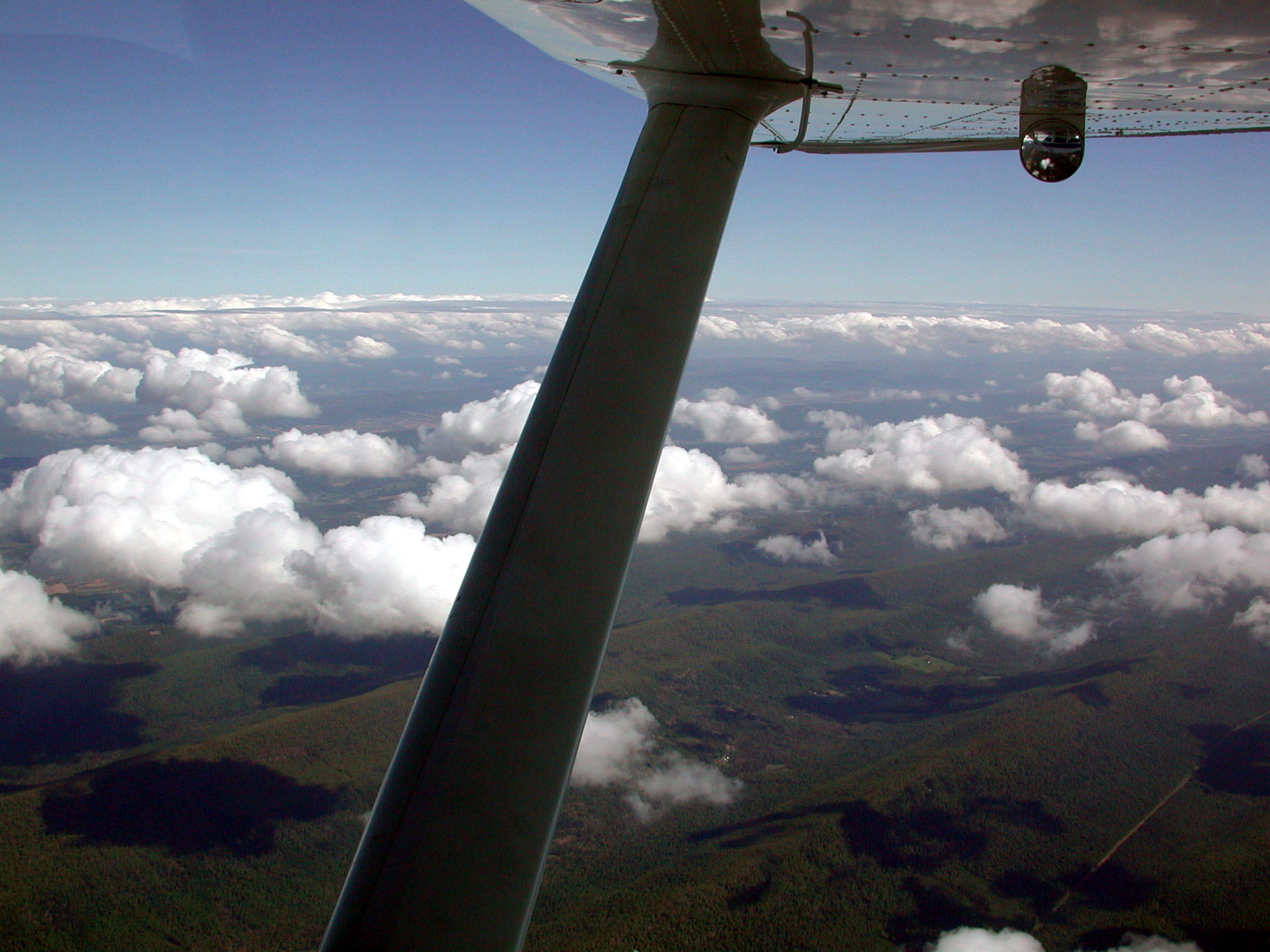 We flew mostly above a broken or solid undercast at about 8000 feet.
No turbulence at all and a very slight headwind initially which, later in
the flight, turned and even gave us a slight tailwind component.
We flew mostly above a broken or solid undercast at about 8000 feet.
No turbulence at all and a very slight headwind initially which, later in
the flight, turned and even gave us a slight tailwind component.
Our filed route took us over Pittsburgh, but Center vectored us around the south of its Class Bravo airspace. Southwest of Pittsburgh we were given `direct BMG'.
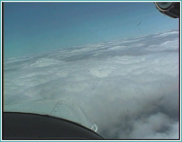
Near Bloomington, the layer became broken again and we had our 10
minutes of actual coming down through the layer.
We broke out 5000 AGL, so a visual approach was made. Flight time 4.8 hours. We took on 63.8 gallons of fuel, but the tanks were not quite full when we started,
Cook Aviation at Bloomington was friendly and helpful. They gave us the car (a battleship of a brand new car) to go find lunch a couple of miles away. We found a pretty good Mexican restaurant.
When we got back, we decided that our original plan of going to Hutchinson, KS would not work: A cold front, with strong gusty winds was expected to move in and we had no desire to be bounced around when a more southerly alternative was available. We decided to go to Joplin, MO.
The weather forecast for this leg was mostly clear skies with scattered
clouds here and there. Again we filed and got 10000.
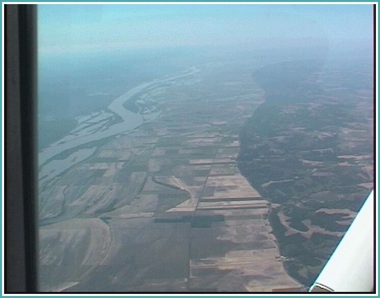
Victor 12 would have taken us over St Louis, but before we even got to Bible Grove (I love that name), we were sent 20° left. Upon crossing the mighty Mississippi, we were given direct Joplin. Those GPSs make it easy.
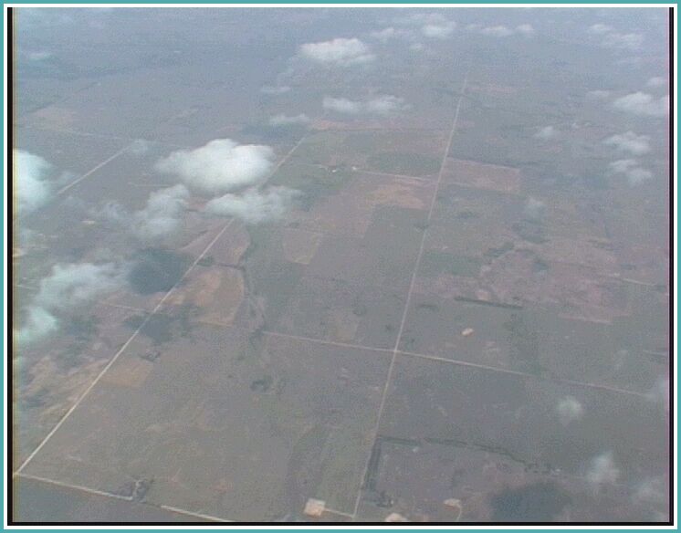
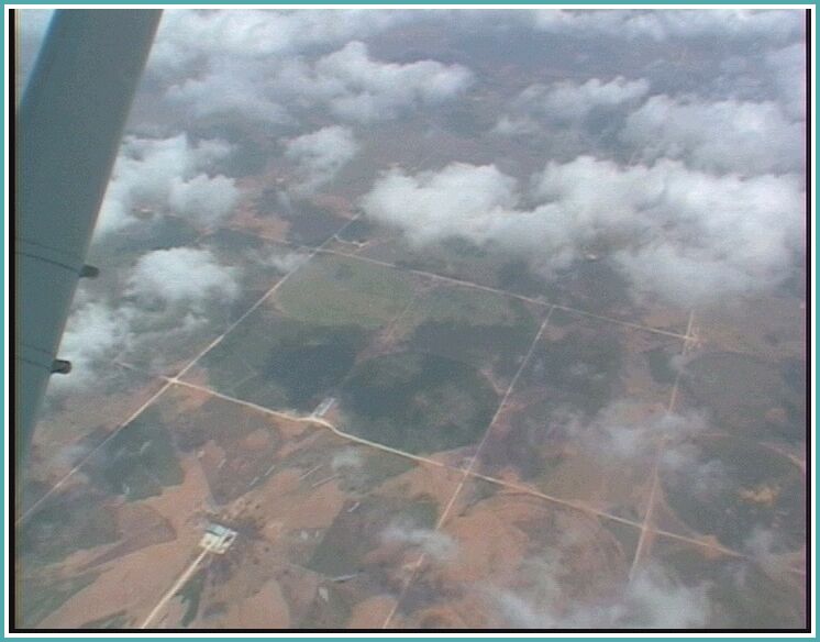
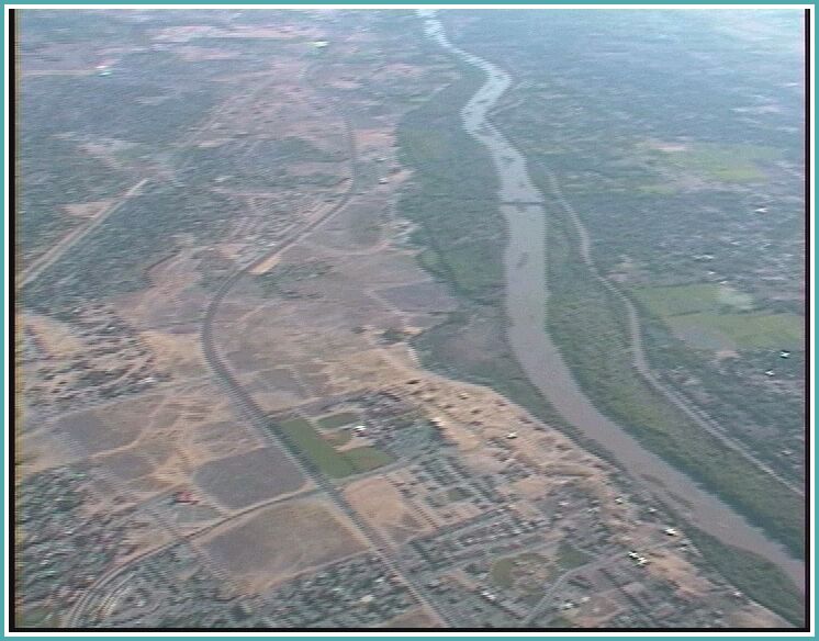
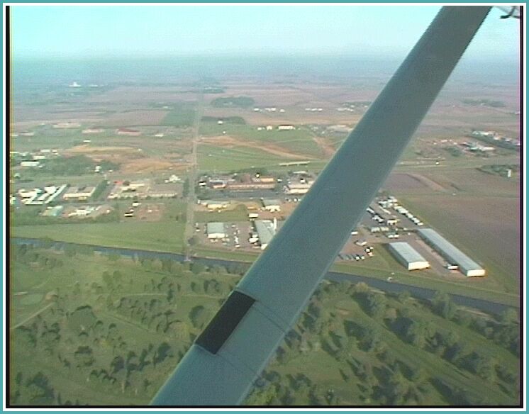
Flying over Indiana, Illinois and Missouri, the enormous size of this country really came home to us. We flew endlessly over square mile after square mile of farmland, intersected by roads at precise intervals. Many of the squares had a farm on it and we passed only a few villages and towns. Only rivers, railroads and highways seemed to be able to escape the tyranny of geometry.
Going further south, the square became interspersed with circles, created by giant
irrigation installations. An impressive and strange sight.
Mizzou Aviation at Joplin gave us a ride to the hotel and, the next morning they fixed the power connector on my headset which caught on my foot and got torn loose when I got out of the plane. They refused to be paid for that.
A cold front with very strong winds came down from South Dakota to Texas and curved westward to New Mexico and then north to Washington. It created clouds and southwesterly winds ranging from 30 knots at the surface to 50 and 60 knots at 12000. It presented a choice between being bumped around in clouds with lesser headwinds and flying above clouds at 10000 in stronger headwinds. We chose the latter and filed high.
The headwind component turned out to be between 30 and 40 knots pretty much all of the way. Meanwhile, terrain was rising below us, so there wasn't really an opportunity to go lower. The first hour of the flight was above an overcast layer with tops at 7000 or so. The remainder of the flight was in clear skies. Apart from the wind, front passage was essentially a non event.
Headwinds remained strong until the airport was in sight but at ground level the reported wind was 28012G17. We landed on runway 30.
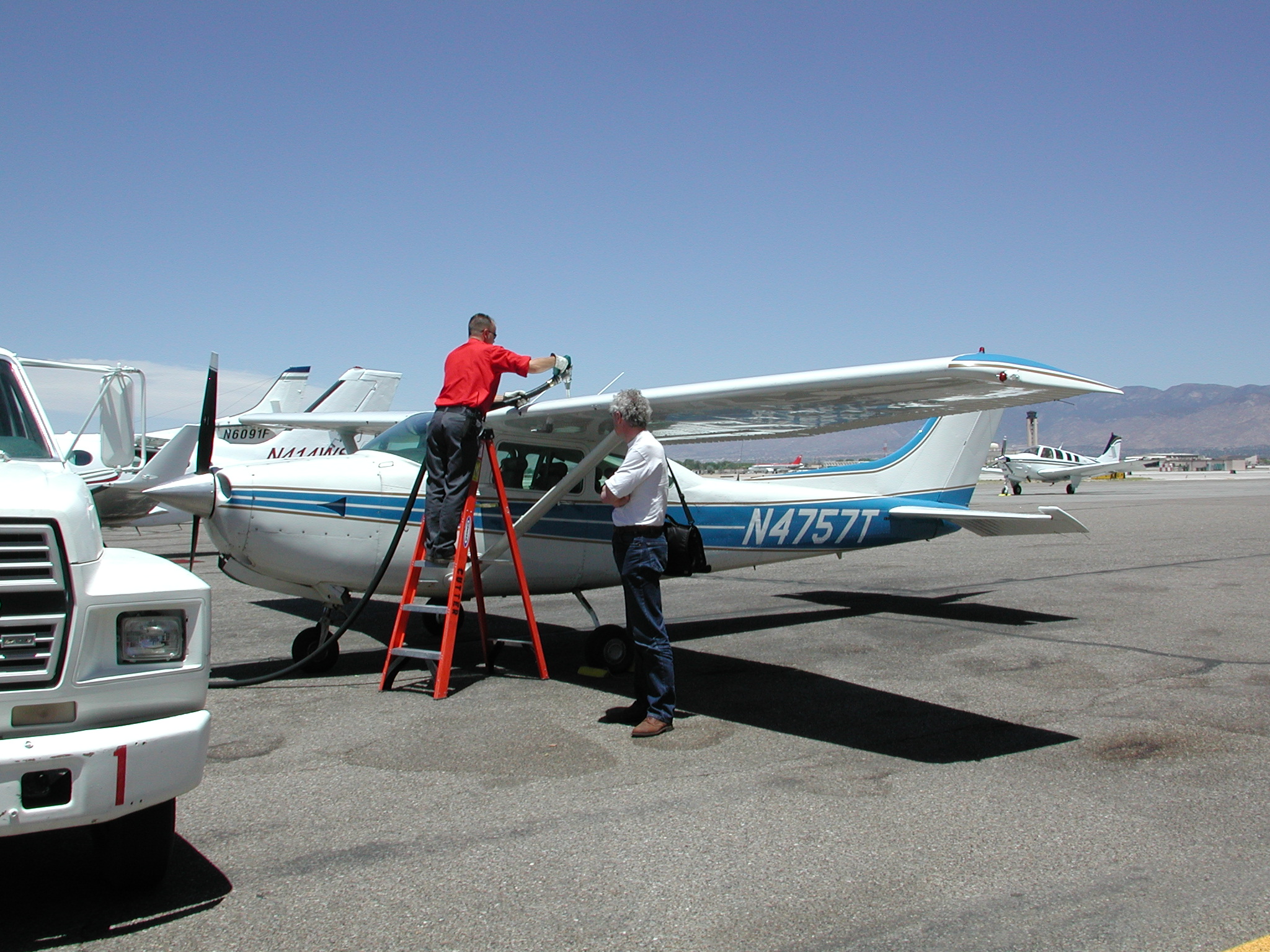
We parked at Cutter Aviation and they provided great service: drove us to a restaurant for lunch, picked us up after lunch and later drove us to our hotel.
We took off just before 8 am on our way to Grand Canyon Airport, which is
at an elevation of 6600 feet, even higher than Albuquerque.
One leg (carty - zun) on this trip would have a MEA of 11000, but we filed 10000 feeling there'd be no point in depriving ourselves of oxygen the rest of the way. ATC almost immediately sent us up to 11000 however, and, further on, climbed us further to 12000.
Flying at 12000, we discovered, had no ill effects on us: I could still do ETA calculations in my head (which we verified with the GPS) and flying high did not give us headaches afterwards.
Skies were clear and, initially, the ride was smooth. An hour into the flight light turbulence started which lasted the rest of the trip. This was pretty much the only turbulence we encountered on the entire trip, apart from a few bumps flying through cloud in the north.
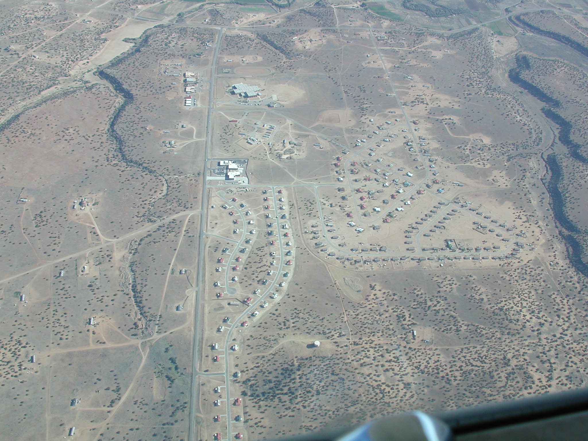
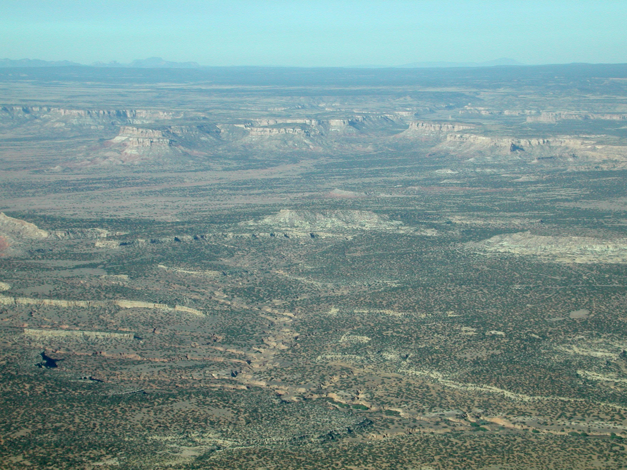
We flew over desert the entire way. There were a few curious villages in the middle of nowhere, but mostly the landscape looked deserted. For an hour or two, we flew over Interstate 40; nice to have some company when flying over the desert.
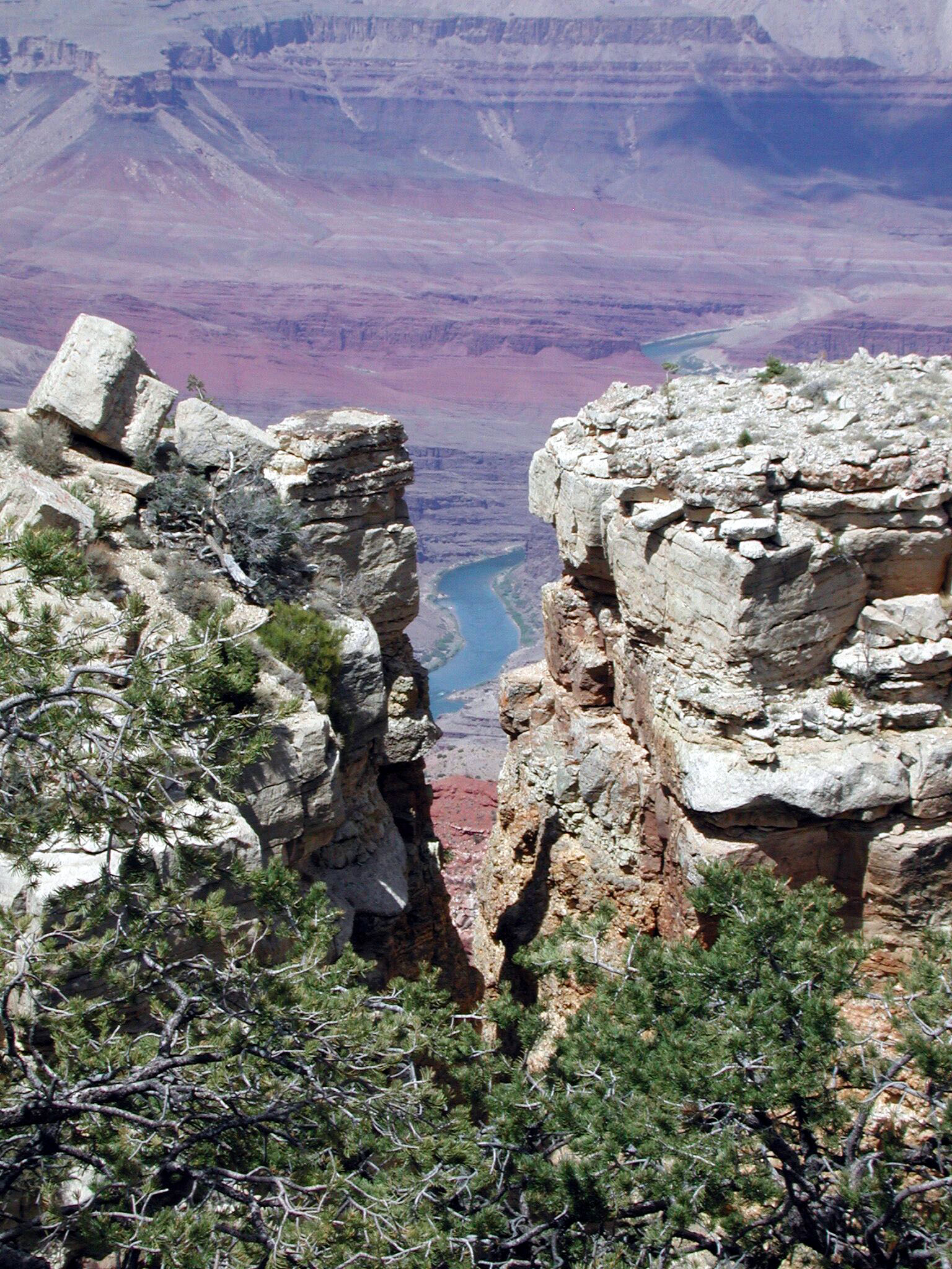
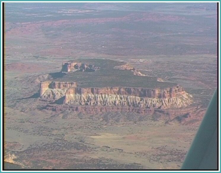
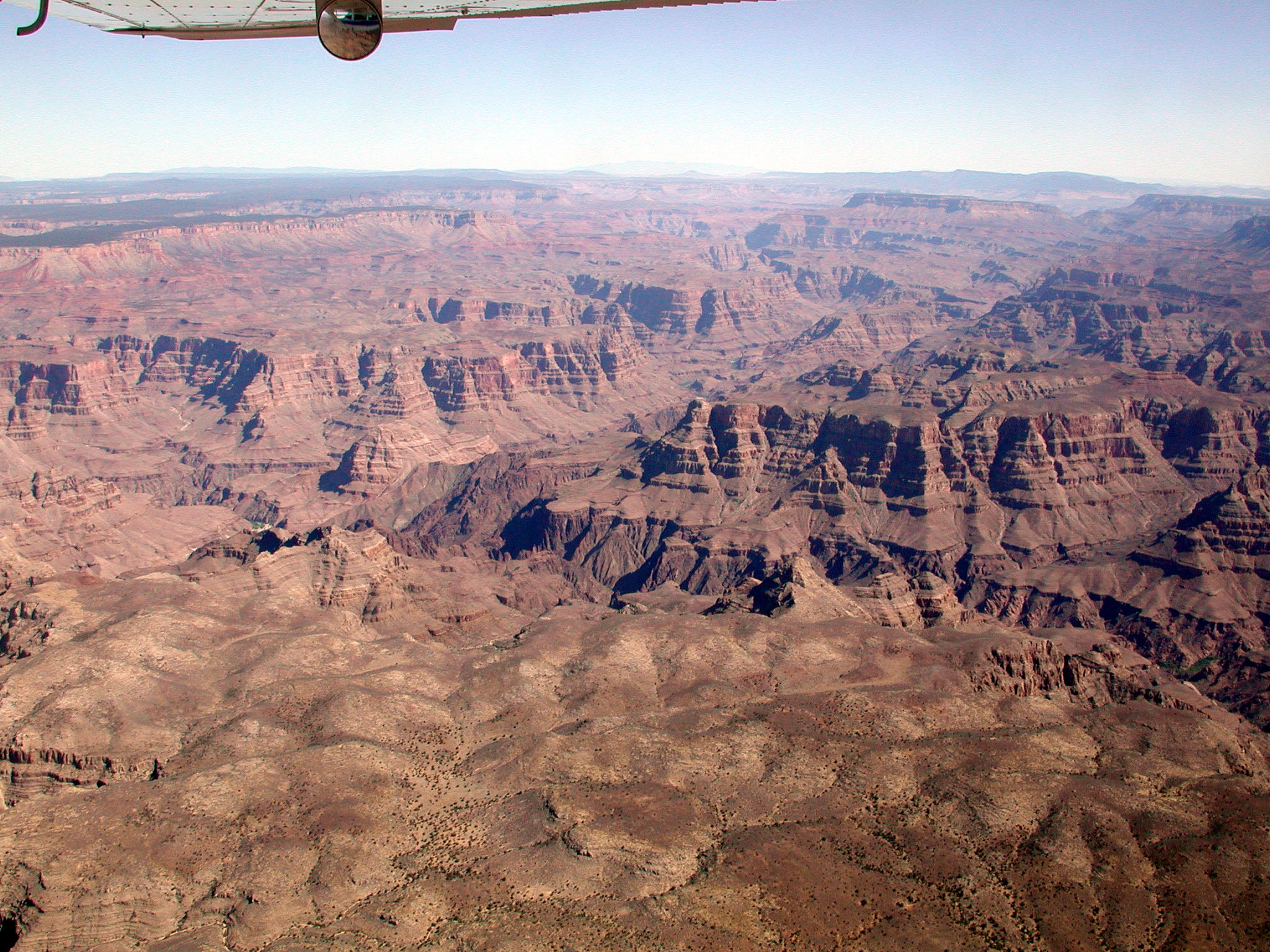
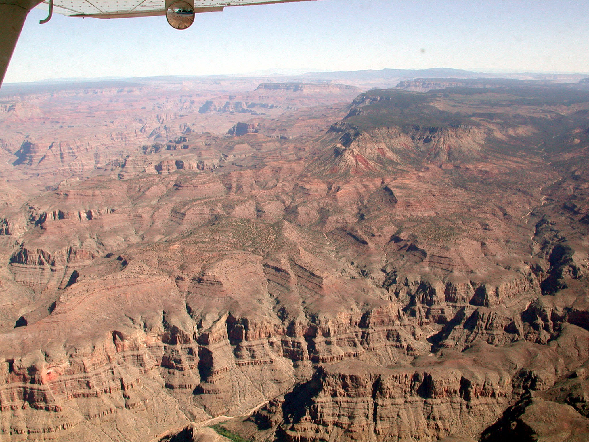
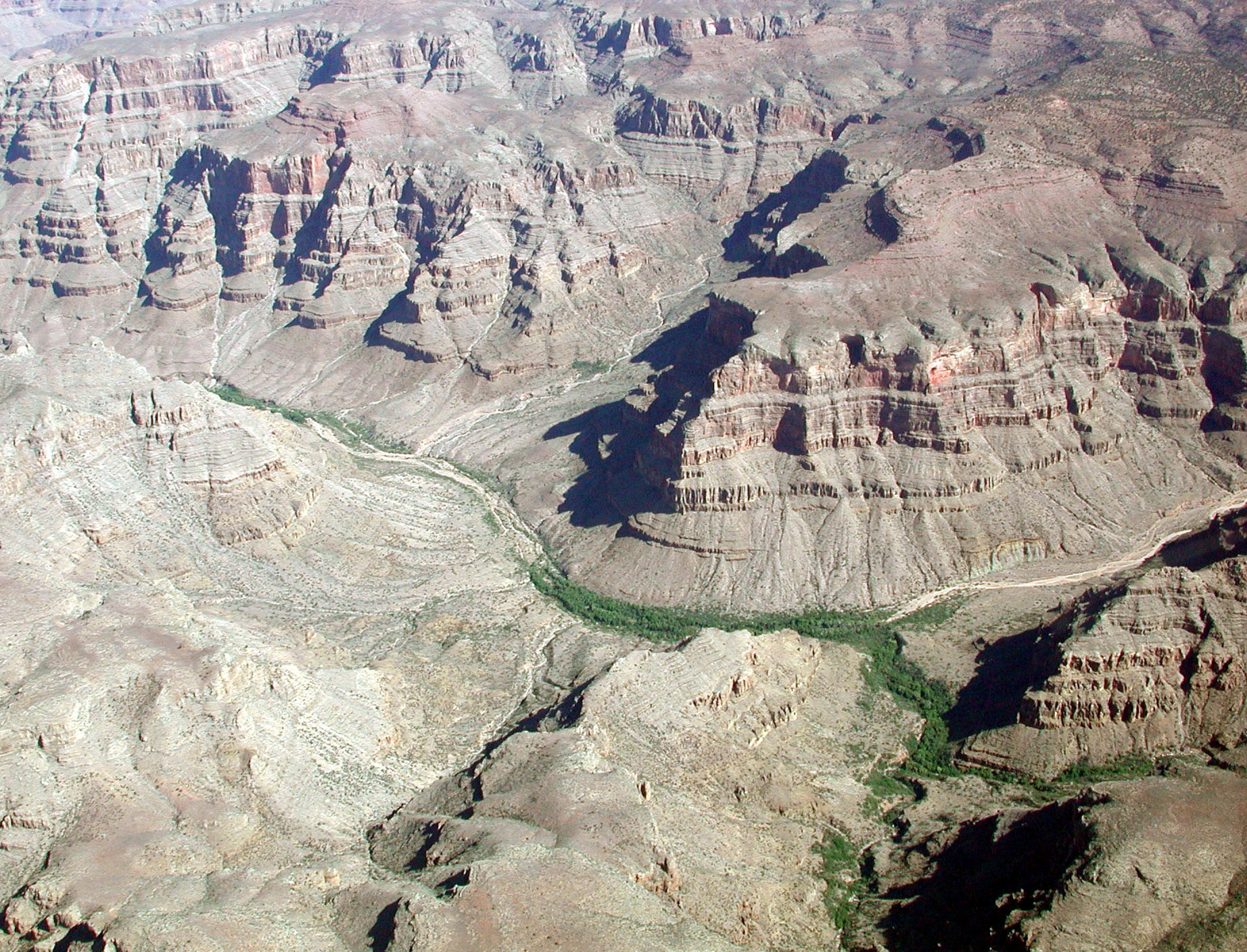
Southeast of the Grand canyon is the Painted Desert. From the air its colors are spectacular. The hills in the picture really are bright blue. The red rocks that is so prominent in the canyon itself is also much in evidence.
We also saw the meteor crater west of Winslow just south of our route.


We filed to keep us south of the higher mountains of the Rockies. As a consequence, we had to make an almost 90° turn to the north at KACEE (right by Interstate 40) to fly the last 80 miles or so to Grand Canyon Airport. This last leg we flew over fairly flat but upsloping terrain. The airport was visible as a gash in the forest from at least 20 miles away.
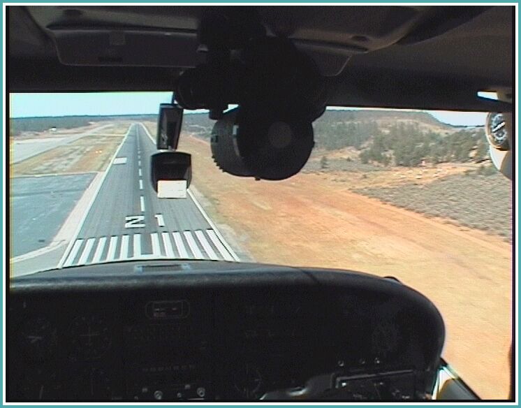
At GCN, we made a visual approach to runway 21. GCN has a 9000 ft runway, so landing at this high-altitude airport turned out to be straightforward and felt much like landings at low-altitude airports.
On the downwind for Rwy 21, we could get a tiny peek over the rim of the Grand Canyon,
but only enough to see its there. Near the National Park, no flying is allowed over the Canyon
(and a good thing that is too, if you ask me).

We got to the airport around 7:30 am, and, after a preflight in the morning cold (temps were around 0°C) took off around 8:30. On climbout we enjoyed the view of the western end of the Grand Canyon.

 Just before PMD we were given a couple of shortcuts. Palmdale VOR marks the southern
boundary of the Bullion Mountains and prosaic places like the Twentynine Palms Marine Corps Base.
I wonder if all twentynine palms are still there.
Just before PMD we were given a couple of shortcuts. Palmdale VOR marks the southern
boundary of the Bullion Mountains and prosaic places like the Twentynine Palms Marine Corps Base.
I wonder if all twentynine palms are still there.
Flying up the Central Valley, we came once again in populated and farmed land. We more or less followed Interstate 5.
Handoffs between center and various approach controllers became more frequent and, when we got close to our destination, and therefore also close to the approach path into San Jose International Airport, one approach controller got quite nervous when we told her we did not yet have the airport and neither could we see the Airbus a thousand feet above us at our eight o'clock -- the wing was in the way.
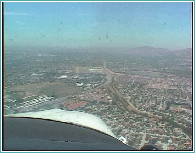
But we finally managed to find the airport amid the clutter of buildings and roads
and made an uneventful landing on Runway 31L at RHV.


We flew from RHV to Paine field just north of Seattle. Weather was predicted to be 7000 BKN along most of the route, and the Bay Area was predicted to be 600 OVC, clearing later in the morning.

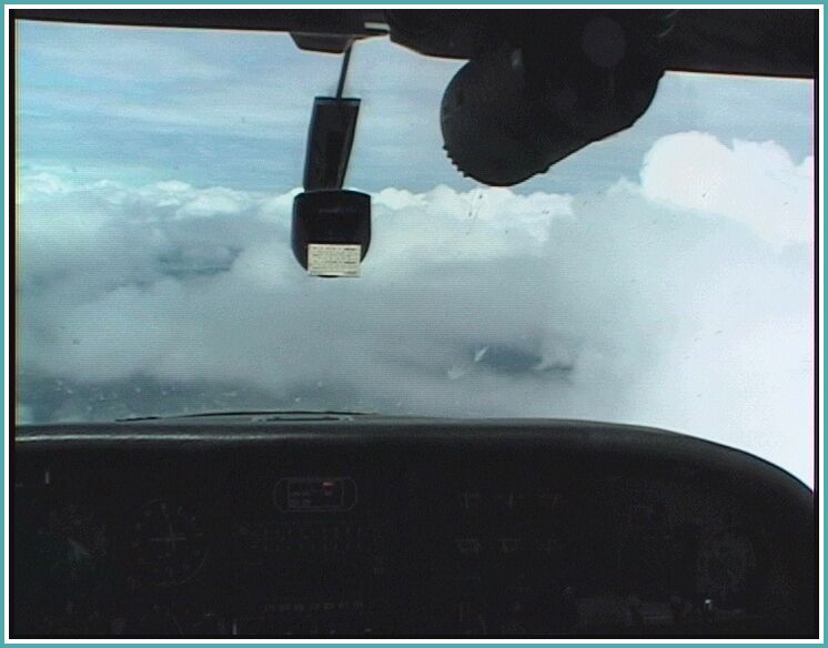
At RHV we had blue skies so we assumed the low level clouds had burned off early. We asked for a Bay Tour West into the IFR flight plan. The controller told us that further north the clouds had not yet burned off so we launched into the usual IFR routine: vectors until we passed San Jose Airport and Direct EMI. It was an interesting flight with lots of layers of clouds and interesting views of the shore below. In the Seattle Class Bravo, we got 20 minutes or so of actual being vectored inside a relatively thin layer. Cloud bases were at 2000 or so, so we could make yet another visual approach into Paine Field.
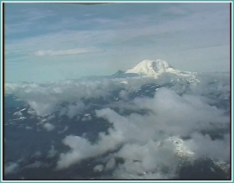
Clouds west of the Cascades were low but still at VFR levels. In the Rockies, there were multiple layers at 7000, 9000 and 14000. Freezing levels were at 10000 or so and we actually collected a little rime ice climbing through clouds in the layer at 9000. The layer was sufficiently scattered however, that we could weave around most of them. The sun helped us get rid of the ice fairly quickly.
Near Billings, thunderstorms were building up. The ATIS warned of towering CB north-east of the airport and standing lenticular clouds in all quadrants. Nevertheless, we landed in sunshine with winds at 8 knots.
When we got into the FBO we grabbed the phone to find a destination further east and a briefing, and while we were on the phone a thunderstorm broke loose.
We filed and took off when the thunderstorm had moved off. On climb out
we had to detour around its remnants.
En route we flew most of the way just under, and occasionally in, a scattered
layer at 12000. The controllers sent us to 11, 12 and, briefly, to 13,000 feet
to keep us on radar. Who says controllers don't care?
We saw no significant weather en route and landing at SFD was uneventful. While writing this report in the hotel, lightning is flashing outside.
We called Flight Service from the hotel and were told that there were scattered rain showers and widely scattered thunderstorms all along our route. In particular, there was a line of them oriented north-south right across our route east of Sioux Falls. The briefer suggested that we could weave our way through them, so we filed direct and planned to examine further at the airport and aloft.
After going to departure, we asked Minneapolis Center about activity on our route and were advised to divert south via Cedar Rapids, so we headed there. While en route, we saw build ups ahead of us and on our left, and we contacted Flight Watch for additional advice. Flight watch told us that Cedar Rapids was a bad idea and that we should divert north, via Madison. When we got back to Center, the controller told us that was not a good plan at all, and that everybody was diverting south. He then told us that, from where we were we could go direct Muncie. Ahead looked more forboding than left, so we turned left towards Muncie.
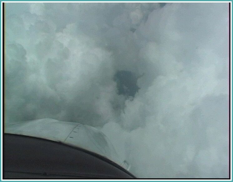
We went through the line of CB where it looked relatively low, made sure the Strike Finder showed no activity and dove into the cloud. A deluge of water awaited us, but turbulence was not too bad: we could hold altitude within plus or minus 100 to 200 feet without needing to induce any significant G forces. The shower lasted about five minutes (but it seemed to be much longer). The noise would not be squelched away on the intercom which made everything seem worse. But we came out the other side of the line into sunshine again.
The rest of the trip was uneventful. We continued to dance around CB but they were widely scattered and became even more so as we went along.
Muncie gave us the only instrument approach on the trip, the ILS to Runway 32. It was in thick haze and low-level scattered cumulus, but we had the runway in sight roughly at 1000 ft AGL. Muncie has a pretty good restaurant on the field, probably the best one I've ever seen on an airport. We had lunch there and then planned our afternoon flight to Morristown (realizing that we might not be able to continue due to afternoon thunderstorms).
Flight service told us however that what activity there was was very widespread and that we'd have no trouble getting to MMU. Once again we filed direct.
After takeoff, just after switching to Departure, suddenly the panel went went blank: radios and GPS turned off; only the gear light was still on. Fortunately we quickly found the source: the avionics switch was only half turned on. Hoping that this was because we had only half pushed it on (it's that kind of switch), we turned it on again and everything came right back to life (and stayed that way for the rest of the trip).
The first half of the trip was in thick haze. We could see the ground up to
maybe five miles. We also had to dart around cumulus, but there were no
high buildups and no rain.
When we were switched to New York Center, we were welcomed by an unmistakable Brooklyn Accent. We asked to climb up to 11000, something we should have done earlier, because it took us above the haze layer. We now had a spectacular view of the cumulus that we were weaving around (none of it took us more than a mile off course).
New York Center then told us to amend our plan. Home Sweet Home! The controller first told us to fly direct Stillwater VOR (STW), then direct MMU. The next controller amended the plan further by telling us to go direct PENNS intersection, then to STW and direct MMU. This we did. Wilkes Barre Approach brought us down to 6000 and Allentown Approach got us down further to 4000. New York Center then took over after PENNS and vectored us to the visual RW 23 approach at MMU even though the ATIS told us to expect the ILS. But recognizing the home field is always much easier than a strange airport, so we had no trouble finding the airport once we got Boonton Lake in sight.
We landed with a slight crosswind from the left and the proceeded to clean up the sty we had created after a week of flying.